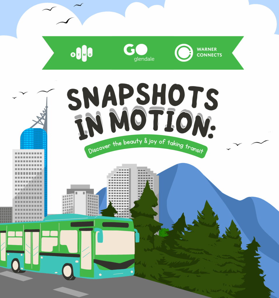
Source: BTMO, Go Glendale, and Warner Connects
You don’t need a car to explore Southern California. In fact, some of the best local spots are just a bus ride or train stop away!
To highlight how accessible the region really is by transit, we partnered with Go Glendale and Warner Connects to create a map built entirely from submissions from our community. Each pin represents a business, destination, or hidden gem that people have personally explored using transit. From neighborhood cafés near bus routes to parks a few minutes’ walk from a rail station, discover places that are not only worth visiting, but easy to reach without driving.
Choosing transit is a way to connect more deeply with the neighborhoods around us. By sharing favorite transit-accessible locations, our community members helped build a resource that encourages others to explore more and drive less.
Whether you’re looking for your next weekend outing or discovering a new everyday stop, this map is your guide to a more accessible, sustainable, and enjoyable way of getting around. Let it inspire your next transit adventure.